Which waterfall is right for you?
Written by Nolo Hub Pai, Pai’s top social and experience-based hostel
Last checked September 2026
tl;dr
Four waterfalls near Pai, four different days out: rock slides in the sun, a cool gorge you walk into, and two jungle treks up the river — one for half a day, one for the whole of it.
The short answer
- Mor Pang
- For those wanting a waterfall in the sun and a proper swim
- Pam Bok
- For those wanting a true vertical-drop waterfall that’s close to town
- Hua Chang
- For those wanting a waterfall you can trek to that won’t take up the entire day
- Mae Yen
- For those wanting a waterfall you can spend all day trekking to and from
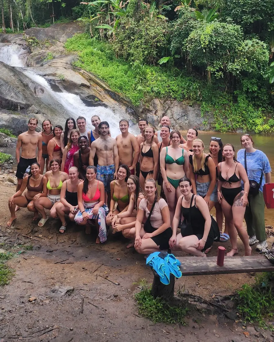
Side by side
Mor Pang
- From Nolo Hub
- 10.5 km west, 15–20 minutes
- The walk
- Two short paths down from the car park
- Swimming
- Two pools, often fine for swimming, and slides on the middle tiers
- Entry
- 100 baht
- Facilities
- Changing rooms, toilets, food stalls
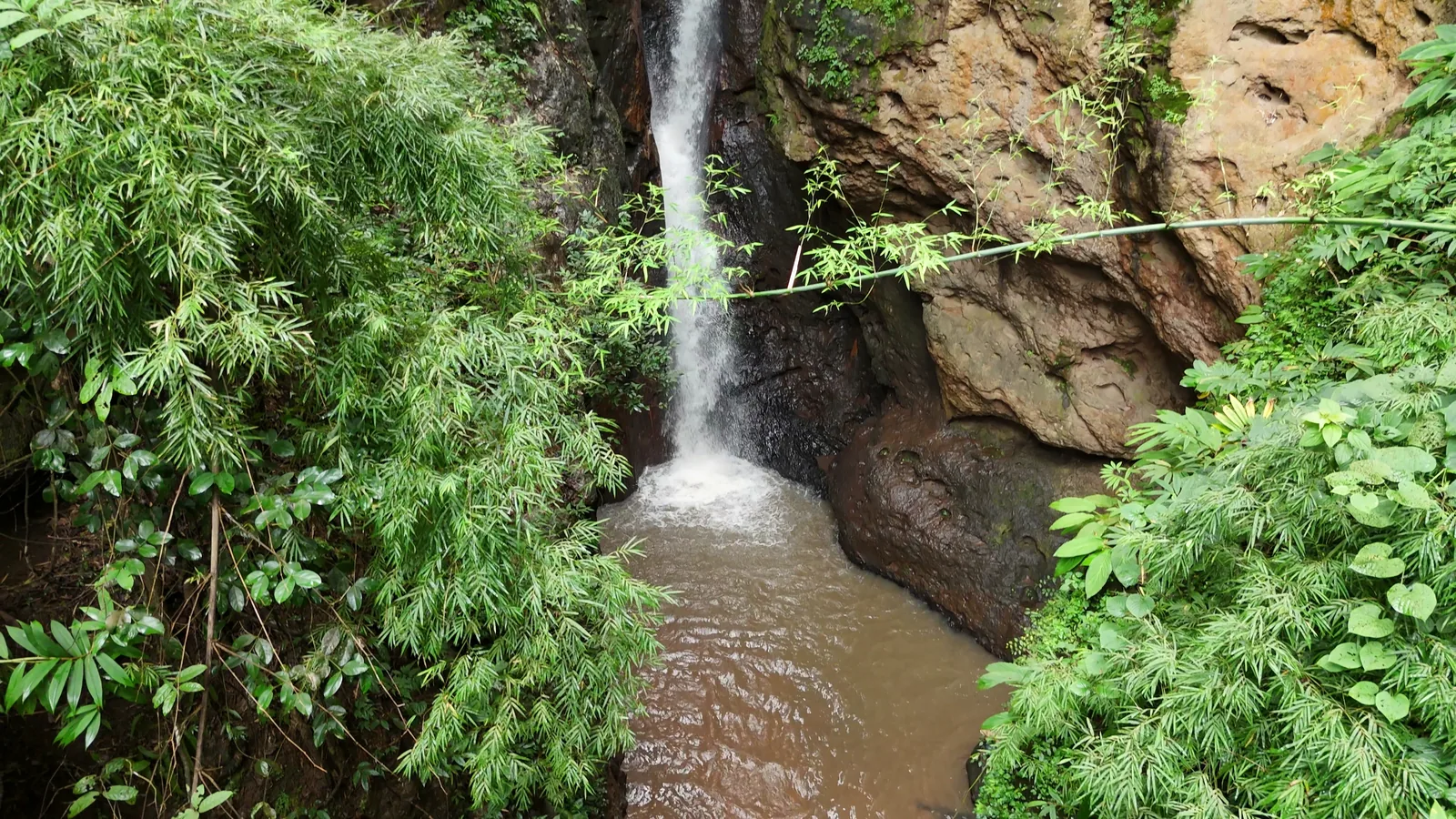
Pam Bok
- From Nolo Hub
- 8.2 km south, 15–20 minutes
- The walk
- 100–150 m into the gorge
- Swimming
- In the pool, when it’s calm
- Entry
- 200 baht
- Facilities
- Bathrooms
Hua Chang
- From Nolo Hub
- 11.6 km to the trailhead, the last part dirt
- The walk
- 9–12 km there and back, 3–4 hours
- Swimming
- A cold plunge pool
- Entry
- Free
- Facilities
- None — no stalls or staff at the trailhead
Mae Yen
- From Nolo Hub
- 3.6 km to the trailhead, the last part dirt
- The walk
- 6–7 hours
- Swimming
- Cold and shallow, when it’s calm
- Entry
- Usually free — carry 300 baht
- Facilities
- None past the trailhead
The two treks
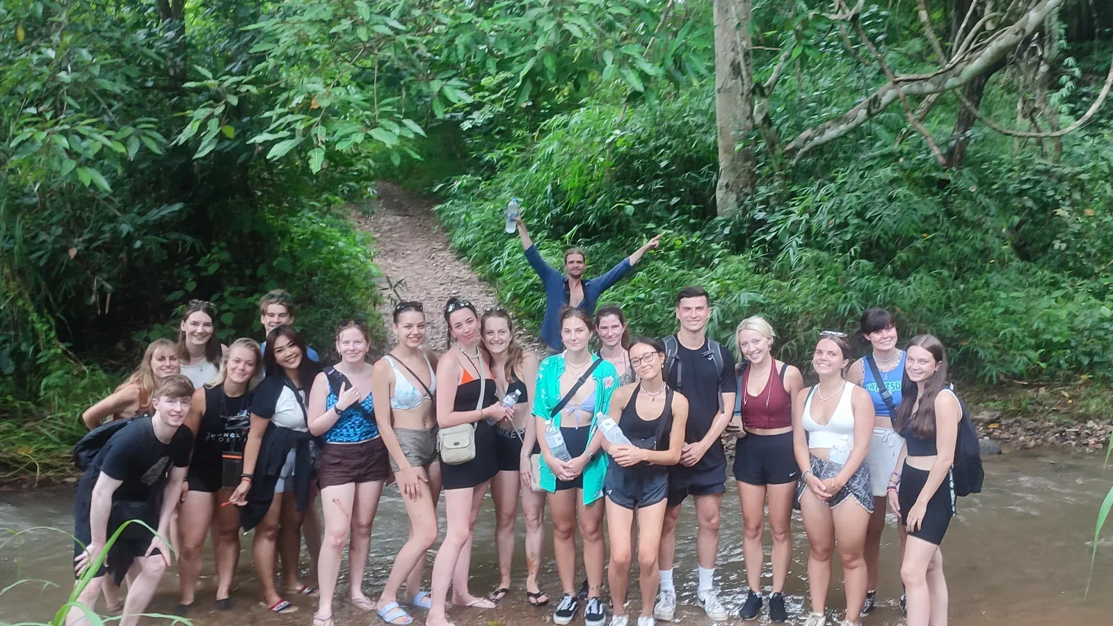
Hua Chang
- River crossings
- 16–22 each way
- The ground
- Mostly flat and wet, with a rope at the end
- Finding the way
- Navigate yourself up the river; save a recorded track; the trail fades near the falls
- Alone?
- Not if you’re unsure of your route-finding or the river crossings
- Turn back by
- Leave the waterfall by 4pm
- When the water rises
- Don’t start after heavy rain; turn back if the river rises, turns muddy or gets hard to cross
- Footwear
- Sandals or water shoes with grip
Mae Yen
- River crossings
- 30–40 each way
- The ground
- Gentle for 5 km, then a steep climb over a spur
- Finding the way
- Save a track or go with someone who knows it; there are three places people go wrong
- Alone?
- Don’t go alone
- Turn back by
- Leave the waterfall by 2pm
- When the water rises
- It can rise 1.5–2.5 m within an hour of heavy rain in the hills; if it’s running high, leave it for another day; turn back if it rises or turns muddy
- Footwear
- Shoes or hiking sandals with grip
For both: there’s no phone signal, so save the track before you leave Pai, tell reception where you’re going, and leave flip-flops at home.
When to go
The rains run from mid-May to October; burning season, when the haze builds, from February to April.
- Mor Pang runs all year; the flow gets lighter in the hot months just before the rains. After heavy rain, don’t slide.
- Pam Bok is at its strongest during and after the rains, and can slow to a trickle in the hot months before they come back. If the water rises or turns muddy while you’re in the gorge, leave straight away.
- Hua Chang and Mae Yen are easier in the cool, dry months after the rains. Don’t start Hua Chang after heavy rain, and leave Mae Yen for another day if the stream is running high; on either, turn back if the water rises or turns muddy.
- Closures: the rangers usually close Hua Chang in burning season, roughly mid-February to April, and Mae Yen can close at times too. Ask us at reception before you set out.
Make a day of it
- Pam Bok and the Bamboo Bridge are on the same valley road, south of town.
- Keep your Pam Bok ticket: it gets you into Sai Ngam Hot Spring, north-west of town, the same day for just the 30 THB scooter fee.
- Mor Pang is on Nolo Hub’s Pai Landmarks trip in high season, with Yun Lai, the White Buddha and Pai Canyon.