Written by Nolo Hub Pai, Pai’s top social and experience-based hostel
Last checked September 2026
tl;dr
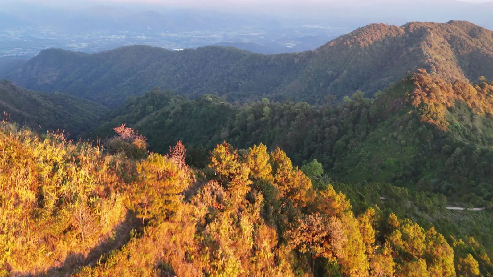
Doi Miang and Doi Thong take you high into the mountains west of Pai, with views that make the valley feel a long way below. They sit on the same ridge and are reached by the same road from Ban Pam Bok, but each has its own reason to stop: Doi Miang looks out over Pai, while Doi Thong opens up a view in every direction.
Also known as: Doi Mieng · Doi Miang Viewpoint · ดอยเมี่ยง · ดอยธง · Flag Mountain
At a glance
- What is it?
- Two mountain viewpoints on the same ridge above Ban Pam Bok.
- From Nolo Hub
- 15.9 km to Doi Miang, 18.5 km to Doi Thong
- The views
- Doi Miang faces across the Pai valley; Doi Thong has a 360-degree view from its summit.
- The road
- Paved, one lane wide and very steep, particularly on the final climb to Doi Thong.
- When to go
- Dry season only. Late afternoon can be beautiful. Not a sunrise trip: that means riding this road in the dark.
- Entry
- We have not encountered a ticket booth at either viewpoint, but charges at sanctuary access points are not clear-cut. Check locally before setting off.
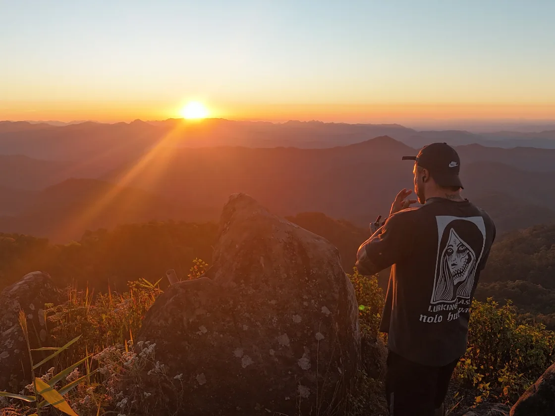
Getting there is part of the adventure. The road is paved now, but it is narrow and seriously steep. This is a trip for confident riders, not a first attempt at taking a scooter into the mountains.
The two viewpoints
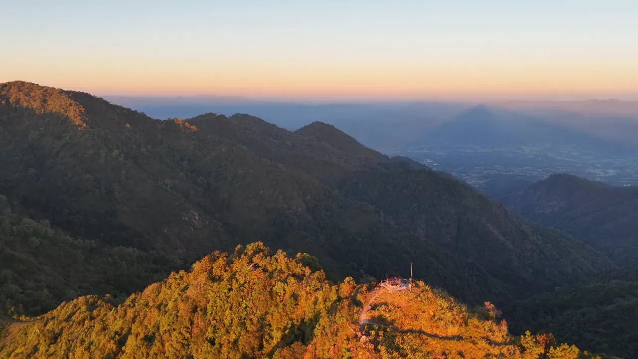
Doi Miang sits at around 1,600 metres. There is a watershed station and nursery here, but the reason to come is the view east across the Pai valley. On a clear day you can pick out the lower land and villages below, with mountain ridges rising beyond them.
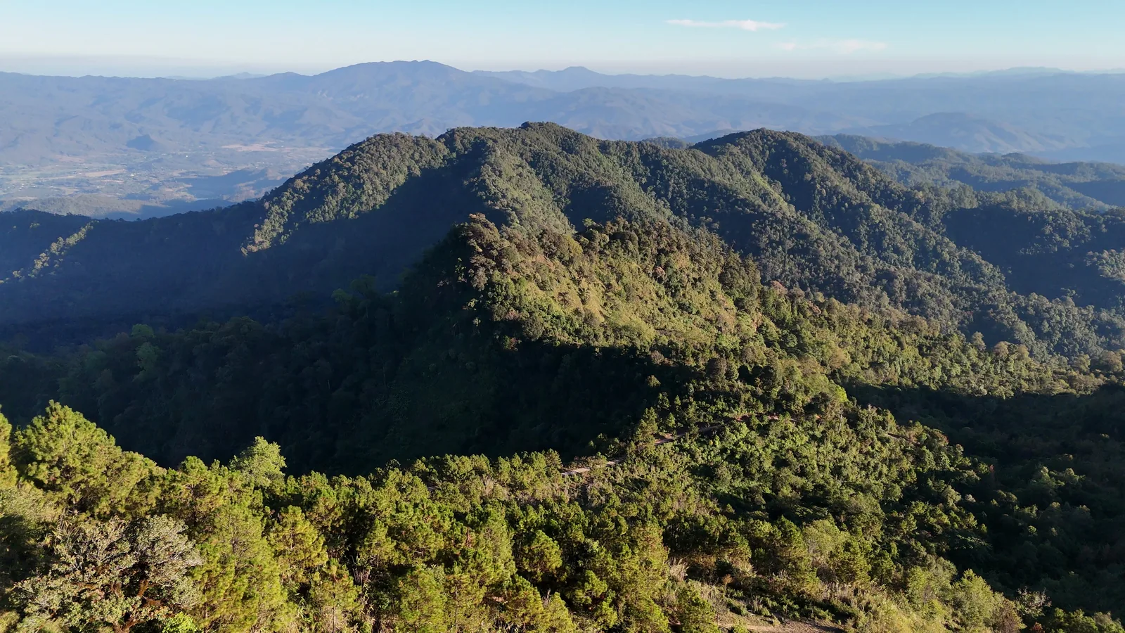
The road continues higher to Doi Thong, at 1,895 metres. Its name means Flag Mountain, and you will find a Thai flag, a chedi and a small outdoor prayer area near the top. People do come here to pray, so give them space if you visit while they are doing so.
The view from Doi Thong reaches all around. Look down the slopes and you can see forest, old terraces beginning to grow over, and field shelters scattered among them. Some of those shelters are still used; they are part of the working landscape below the viewpoint, not abandoned buildings to explore.
The terraces were cut in the 1980s and 90s, under the programmes that brought new crops into northern Thailand's hills, and planted with cool-climate vegetables and fruit trees. The usual account is that they were left for three reasons: rules protecting the headwaters limited farming on these slopes, the water up here ran short in the dry season, and tourism in Pai paid better than carrying vegetables down a mountain. What is growing back is pine scrub and wild banana. The shelters are hang na, field huts built so that anyone working a plot hours from the village did not have to walk down every night.
You can drive between the two peaks or make a walk of the ridge road if you want more time in the mountains. It has some proper climbs, so it is more of a hike than a level wander between viewpoints. Doi Thong is a sensible place to turn around; routes continuing beyond it are not a straightforward visitor trail.
The late-afternoon shadow
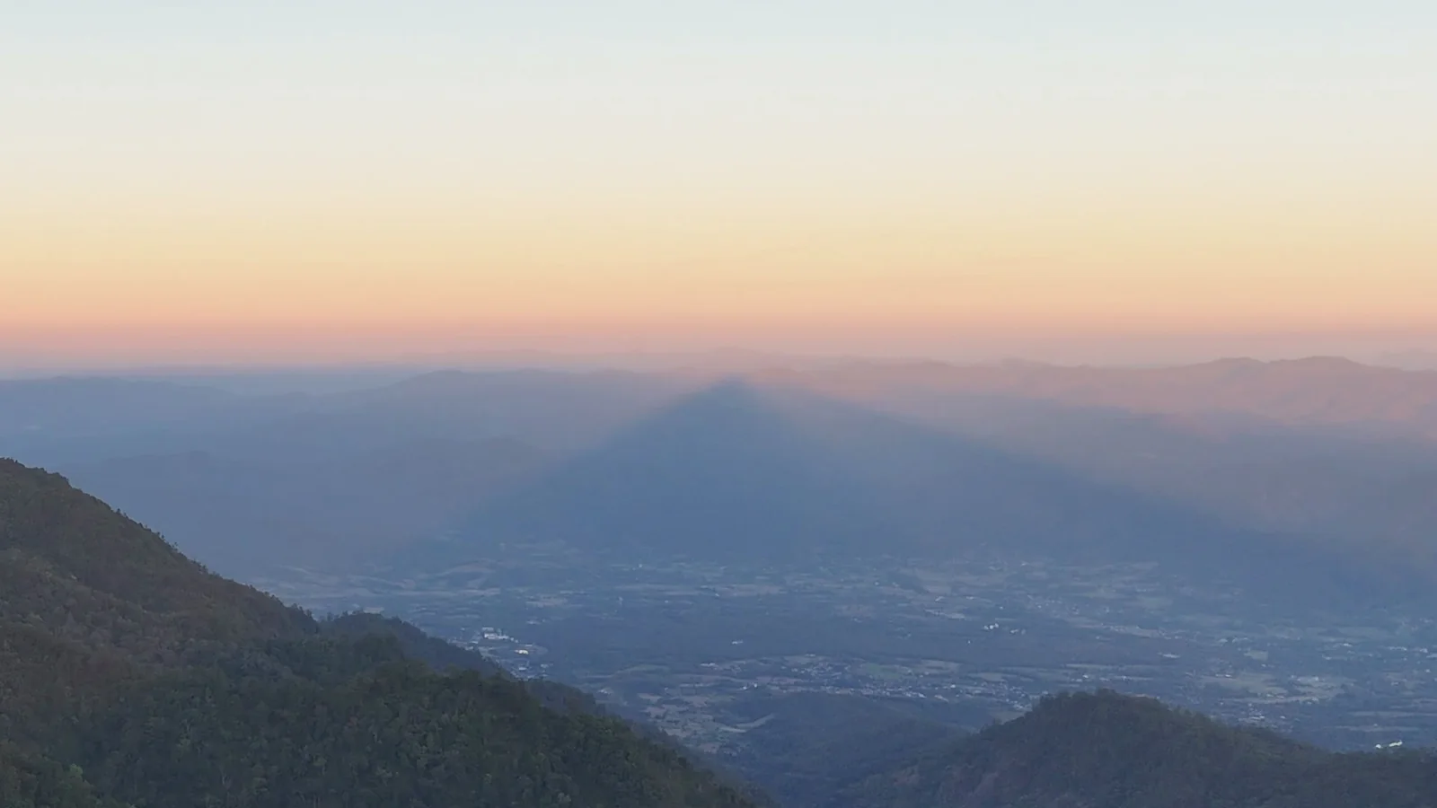
On some clear evenings, Doi Thong throws a huge triangular shadow out across the Pai valley. It can look as though the mountain itself must be a perfect pyramid. It isn't: from the summit, the long shadow appears to narrow into a point in the distance, much like railway tracks seem to meet at the horizon.
It is a remarkable thing to catch, but it depends on the light and the haze, so don't plan your whole trip around seeing it. And if you have ridden up, don't wait for the last second of sunset. The road back down is steep enough in daylight.
Getting there safely
From Pai, take the road towards Pam Bok Waterfall and the Bamboo Bridge. At Ban Pam Bok, look for the sign pointing to Doi Miang Viewpoint, 10 km. The road carries on from Doi Miang towards Doi Thong.
The surface being paved does not make this an easy scooter ride. The road is only about one car wide, the gradients are demanding, and the final climb to Doi Thong is steep enough for a dirt bike to lose traction. A small automatic scooter with two people aboard may struggle on the climbs, while the long descent puts its brakes to work. If you are new to riding, choose another viewpoint.
Slow right down approaching every crest until you can see the road on the other side. These are single-lane ridge roads and the rises are blind.
We would not ride this road in the rainy season. Mud can wash across the pavement, and landslides can close the route without much warning. Check that the road is open before leaving Pai, and bring a layer for the cooler air at the top.
Doi Thong summit coordinates: 19.344865, 98.330657.